Code: H601
Dimensions:
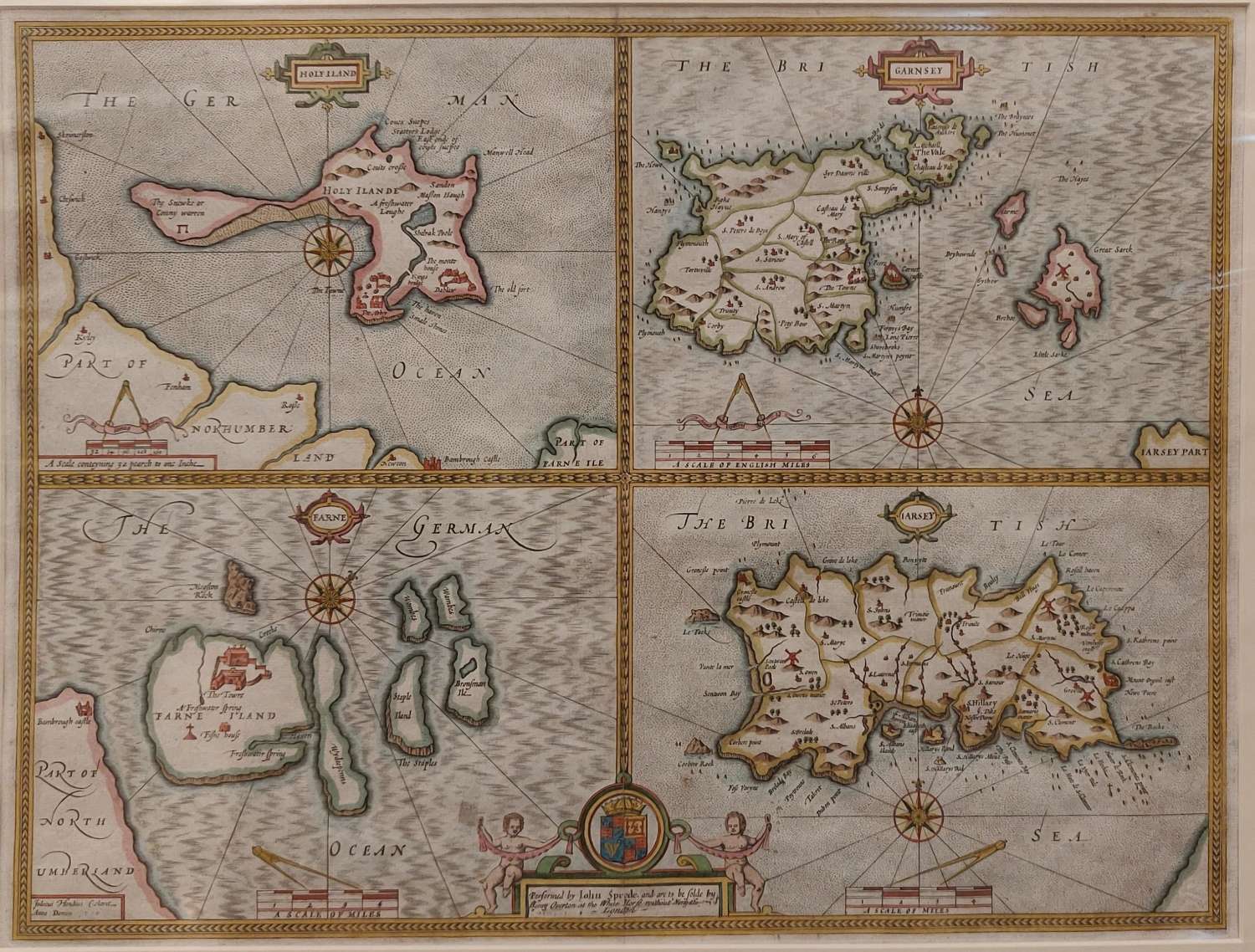
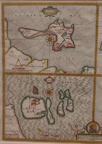
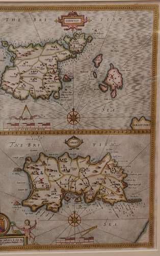
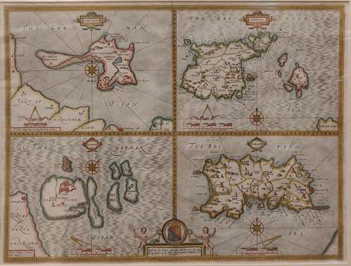
Antique Map by John Speed Circa 1743, of Garnsey, Jarsey, Farne and Holy Island.
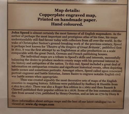
Copperpate engraved map, printed on handmade paper and hand coloured.
Fill in this form to send us your enquiry
Add me to your email mailing list
I agree to the Privacy Policy. *
Fill in this form to email this item to a friend
Please fill in the information below